This text is an English translation of the blog originally posted in Spanish on the IDEAS website
As part of the Governance component, the IDeas DeSIRA project has been strengthening the leadership capacities of the Community Action Boards in the department of Guaviare, through a pedagogical exercise for the leaders of UAPSS of Capricho, in San José del Guaviare.
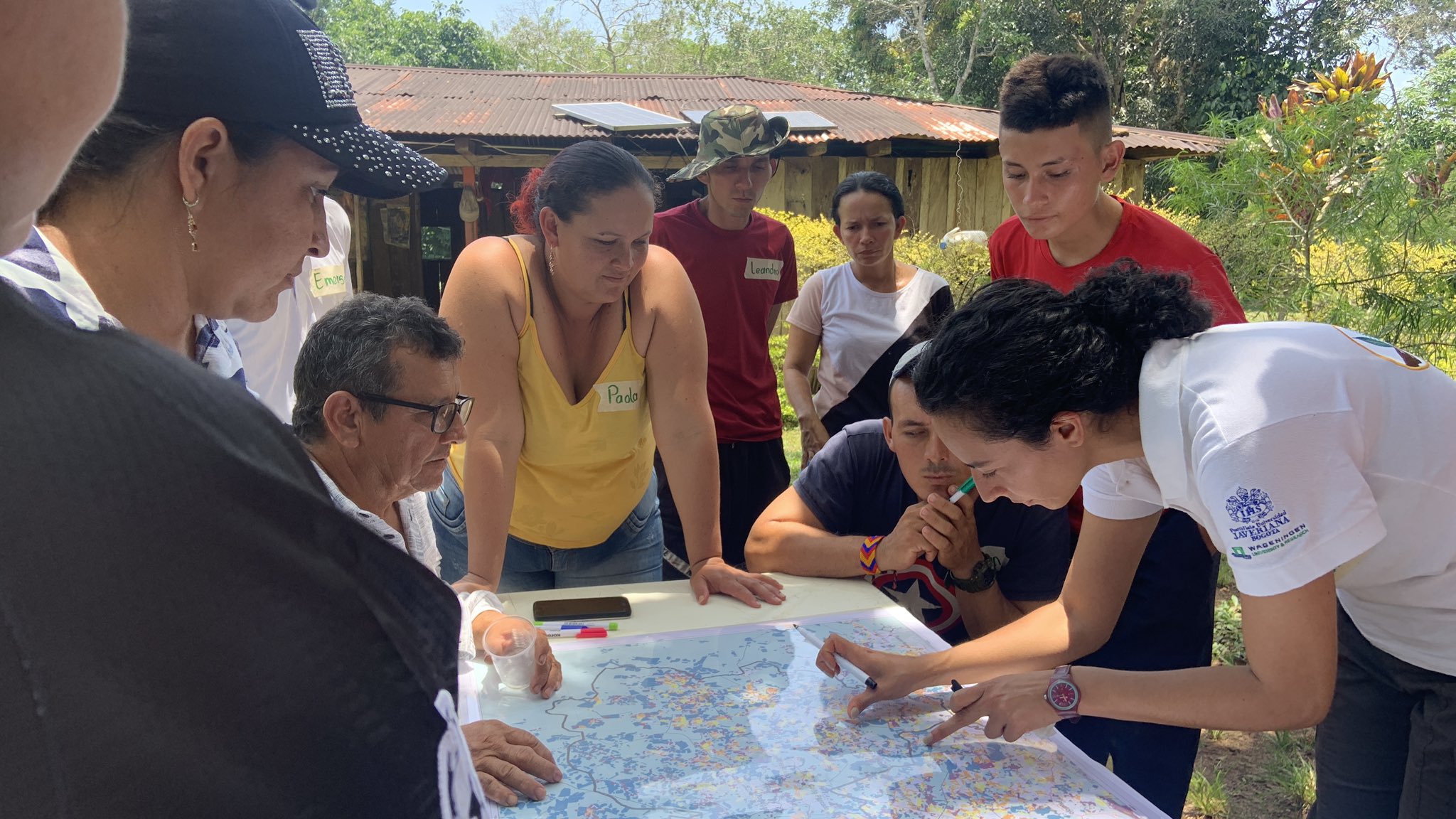
The cartography workshop aims to strengthen the skills of leaders by recognizing the need to use different tools that allow them to know and understand their territory, such as maps and digital cartographic tools.
The objective is that leaders and communities know these tools and know how to use them appropriately to respond to the need identified by themselves to create negotiation strategies with regional and national level institutions on territorial planning and alternative use of the biodiversity, within the framework of containing deforestation.
The workshop “Re-knowing the territory: handling of cartographic tools” took place the first few days of September with the 7 villages that make up the UAPSS, where both analog and offline digital tools were implemented to learn the basic elements of a map, calculate distances, interpret spatial patterns of deforestation and specify the legal status of the territory of each of the paths.
The village leaders were able to relate these elements to their needs and found usefulness in the information provided to them, recognizing the value of identifying environmental and deforestation problems through maps and tools socialized with them.


